The Témiscamingue, beyond a mere territory.
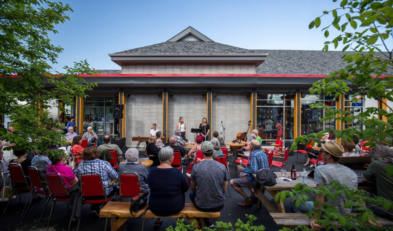
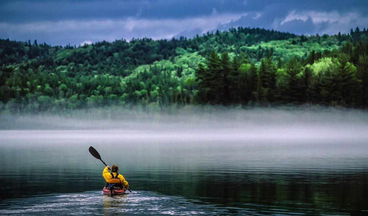
It is a place of boundless nature and human warmth. Always more discoveries to be made through an immense circuit of lakes, rivers, and forests, where one meets people in love with their land of origin or adoption, and who are eager to share it.

Regional history
The Témiscamingue region is located at the western end of the province of Quebec. On a map, it appears as if it has halted the vast rift formed by the Saint Lawrence and Ottawa Rivers as they head towards James Bay. The Témiscamingue region’s namesake lake forms the interprovincial border between Quebec and Ontario and extends from the lower Ottawa Valley. The Ottawa River (formerly known as the Outaouais River) is the region’s most important waterway, both in terms of its length and the lakes it forms, as well as the hydroelectric power it generates.
In Algonquin, the word Témiscamingue means “profound waters.” It was on its shores that the fur trade began with the coureurs des bois, or “runners of the woods. (fur traders)” These adventurers, who covered incredible distances through the forests and on the waterways, acted as intermediaries between the government and the Algonquin people. This is how the first transactions of the Hudson’s Bay Company began…
- To learn more about the history of our territory, visit our numerous museums & historical places or visit La Société d’Histoire du Témiscamingue. (Historical Society of Témiscamingue)
- Come Discover the ten museums of Mémoires des chemins d’eau (Memories of waterways museums) A historical tour of the region’s history and culture.
Stats about Témiscamingue!
7500 lakes and rivers. Here, nature welcomes humans, not the other way around. 95% of the territory is made up of water and forests.
A playground of 19,744 km2 for 16,000 people ready to welcome you
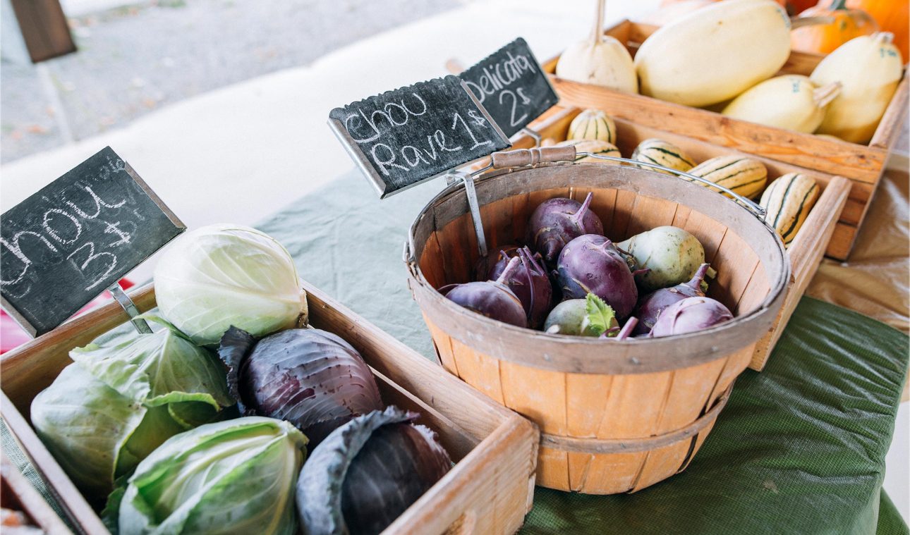
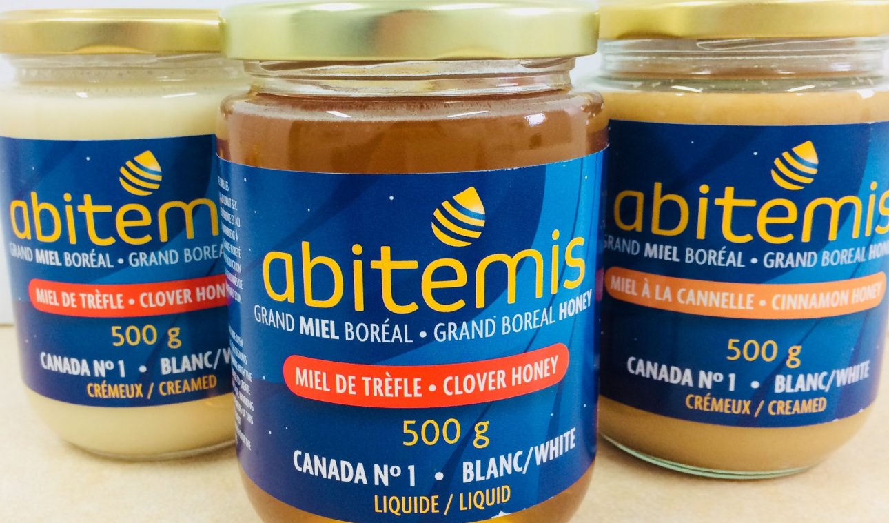
30 agro-transformers and restaurateurs ready to make you taste the local terroir.
Forest
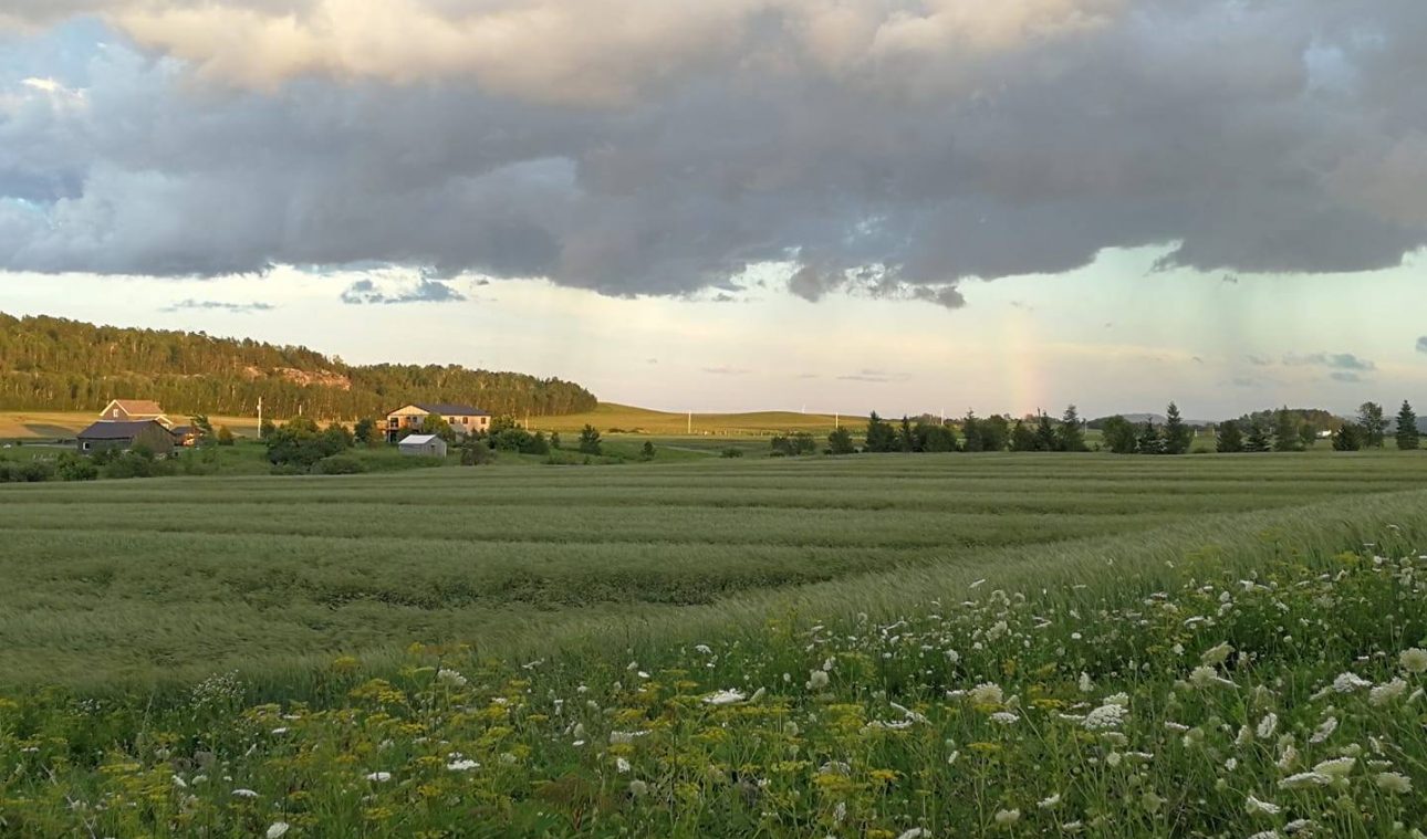
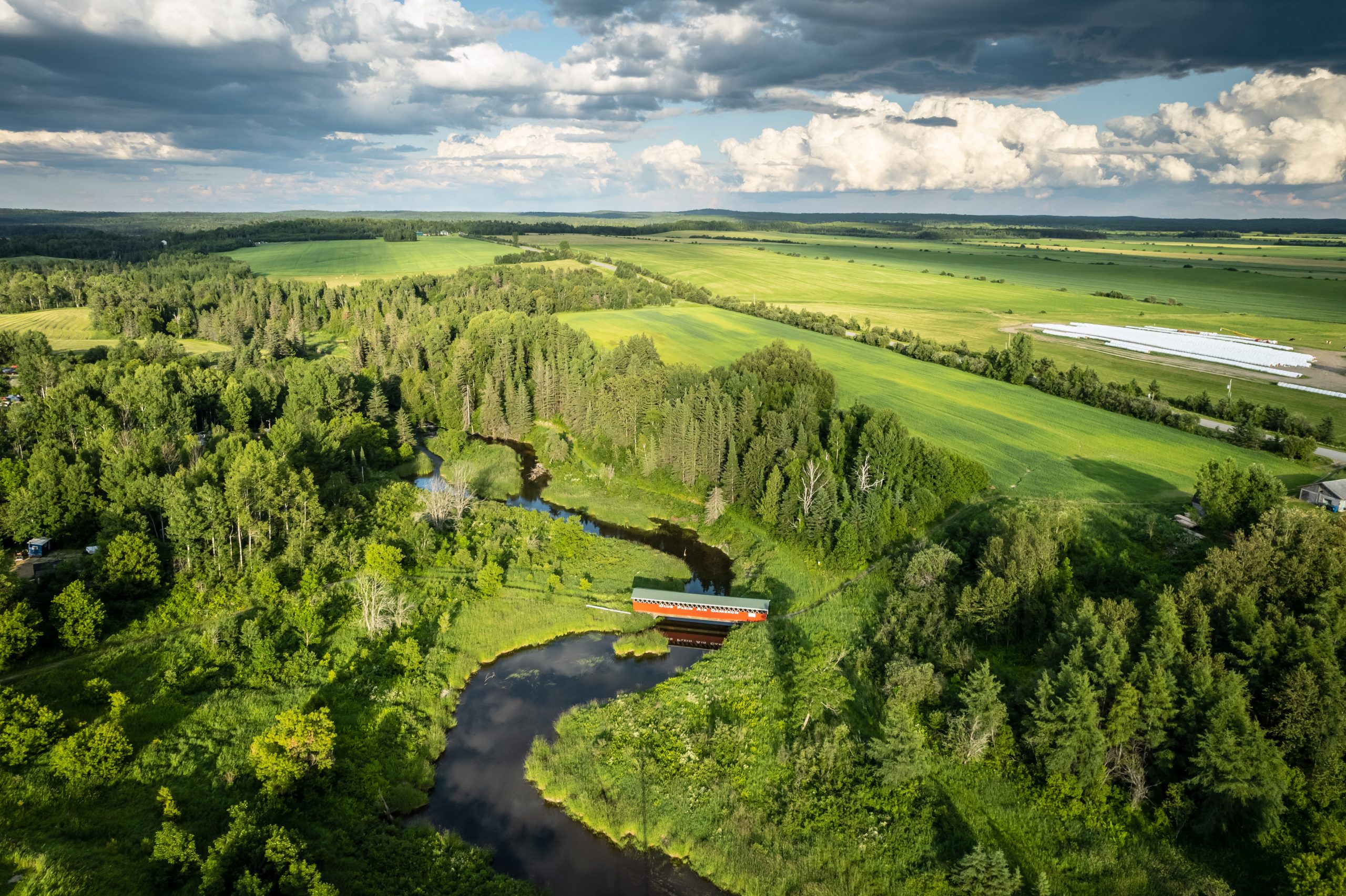
The Témiscamingue region boasts a diverse landscape, with southern areas characterized by maple and yellow birch forests, while the north is dominated by spruce and yellow birch forests. Meanwhile, the Abitibi region is primarily composed of white birch and spruce forests. With dense vegetation and limited open vistas along transportation routes, these natural landscapes represent a valuable resource for outdoor recreation and tourism. From spring to autumn, the stunning beauty of the forest is truly awe-inspiring.
Our Climat !
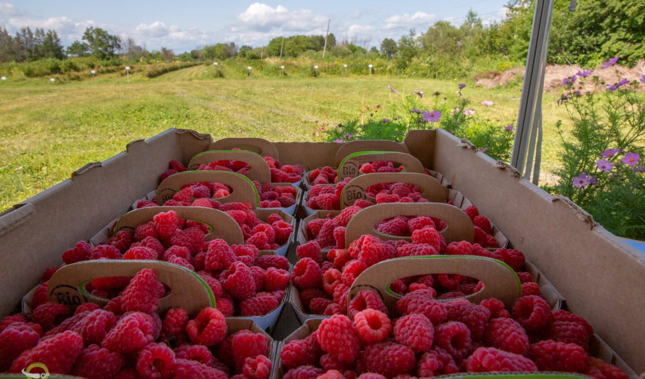
- Favorable microclimate for agriculture
- Our winters are not particularly harsh, colder than in the Montreal region, but we are not in the Far North The cold is tempered by the (very) numerous bodies of water
- Compared to Abitibi, we have positive differences of 5 to 7 degrees depending on the season
Where the sun stays up until 10 pm during most of the summer
Témiscamingue on the map
The Témiscamingue is located at the extreme west of Quebec, south of Abitibi, at the border of Ontario and along the lake of the same name.
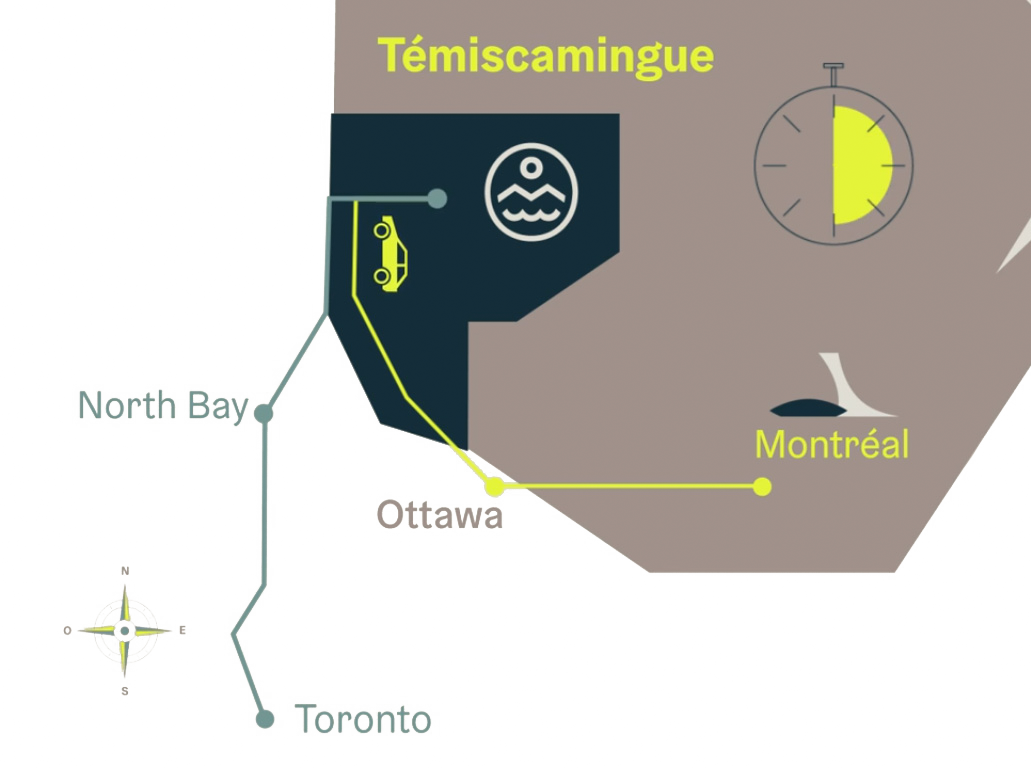
Did you know that you can reach Témiscamingue by two different routes from Montréal/Québec?
- By the Ontario road (the shortest route): Accessible via the Trans-Canada Highway (Highway 17), you will cross Ottawa and a few other Ontario villages such as Matawa, and then reach us after taking the winding shortcut 533. If you want to avoid the 533, you can pass through North Bay.
- By the Quebec road: Accessible via the La Vérendrye Park by taking the 720 West from Montréal, you will discover Abitibi along the way and then make your way to us! Check out our FAQ section for detailed instructions on how to get here.
